

Aman-Auz in Arkhyz — route toward the Abkhaz border
An off-road route through the Psysh and Amanauz river valleys: forest road, water, mountain views and photo stops. This is the Arkhyz route, not the namesake hiking gorge in Dombay.
Aman-Auz in Arkhyz — route toward the Abkhaz border: tour format and how to get there
Aman-Auz is a 2–3 hour off-road route from Arkhyz with a section toward the Abkhaz border. The vehicle and exact track depend on season, road and water conditions; bring your original passport.
- How to get there
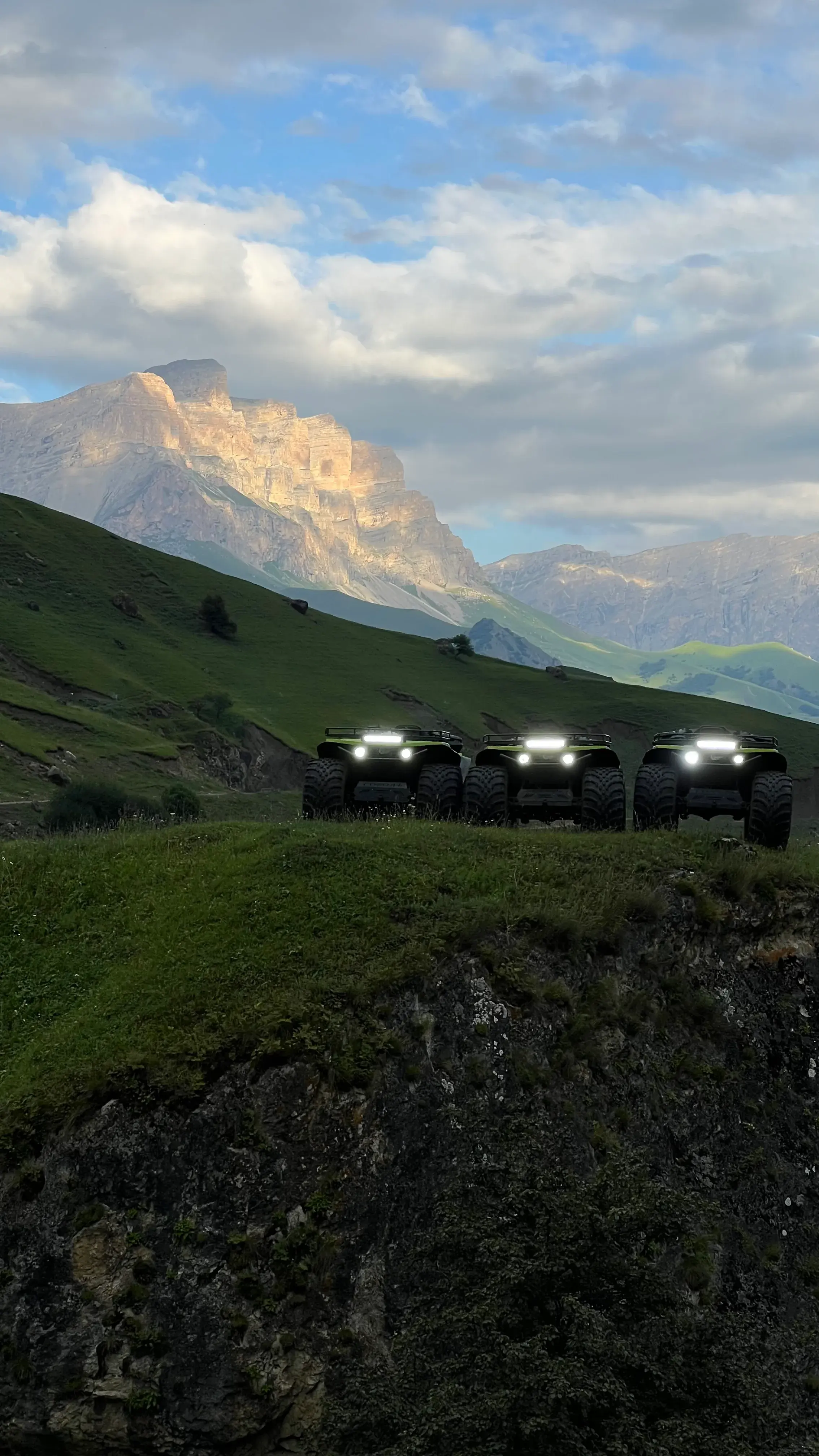
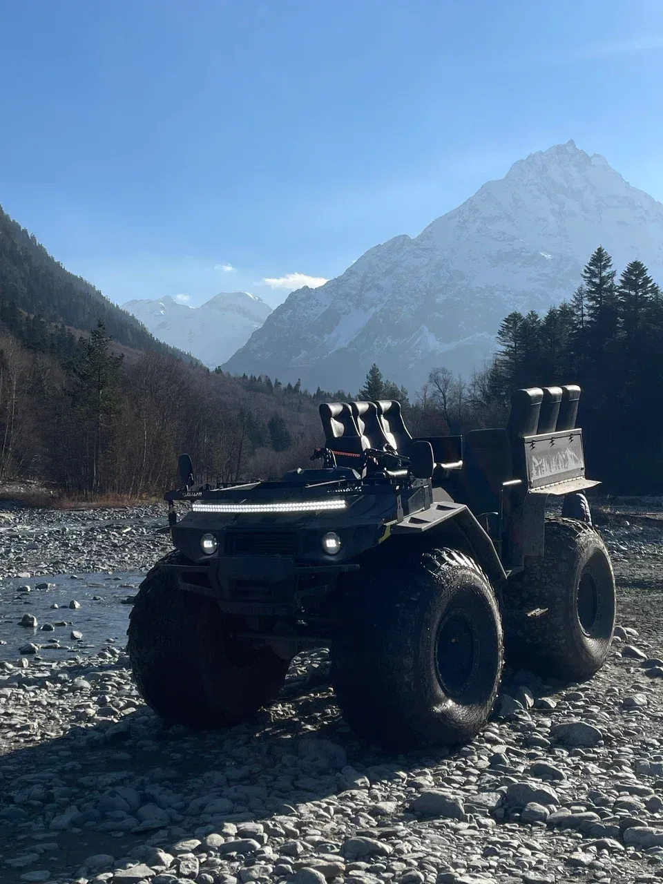
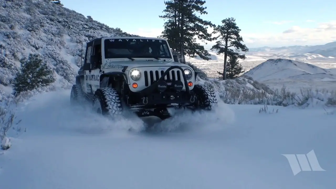
- ATV Titan, Envix (6 seats), Jeep tours
- Price
- 6,000-10,000 RUB by format
- Season
- Warm season / Winter
- Difficulty
- Medium
What matters before choosing
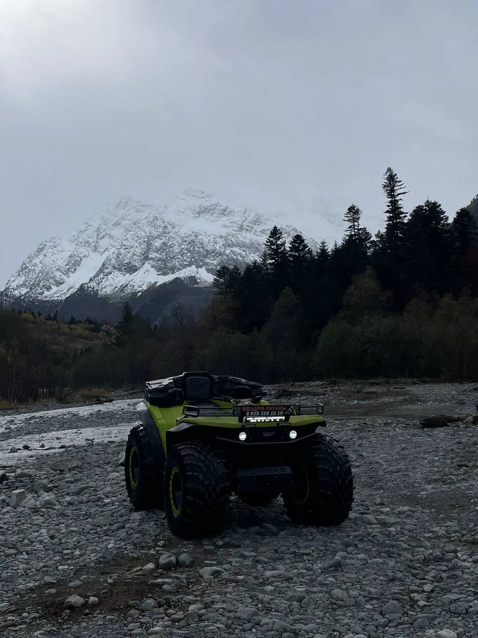
- Psysh and Amanauz river valleys in the Arkhyz area
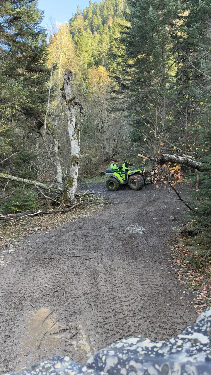
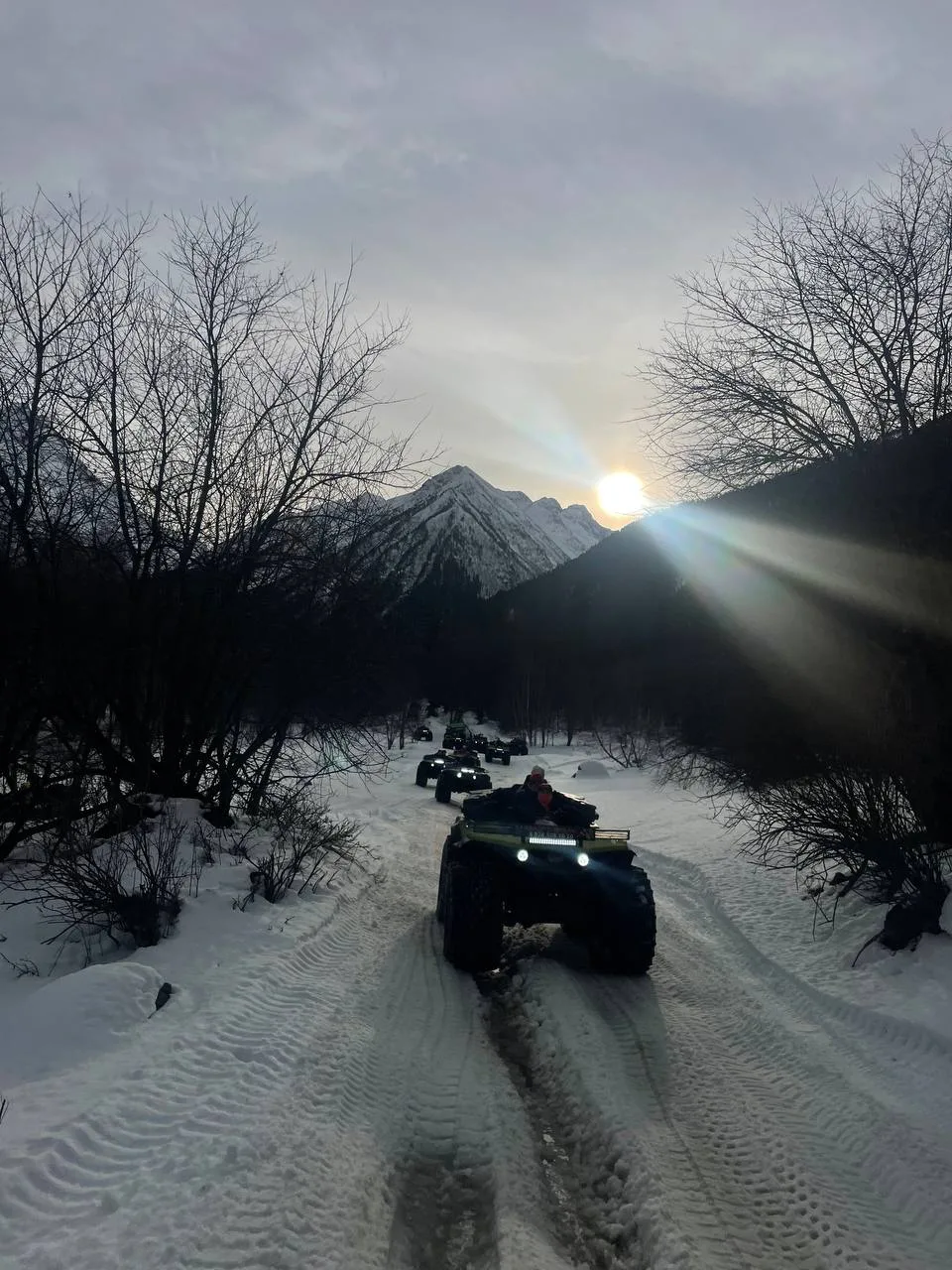
- Forest, mountain road, water and photo stops
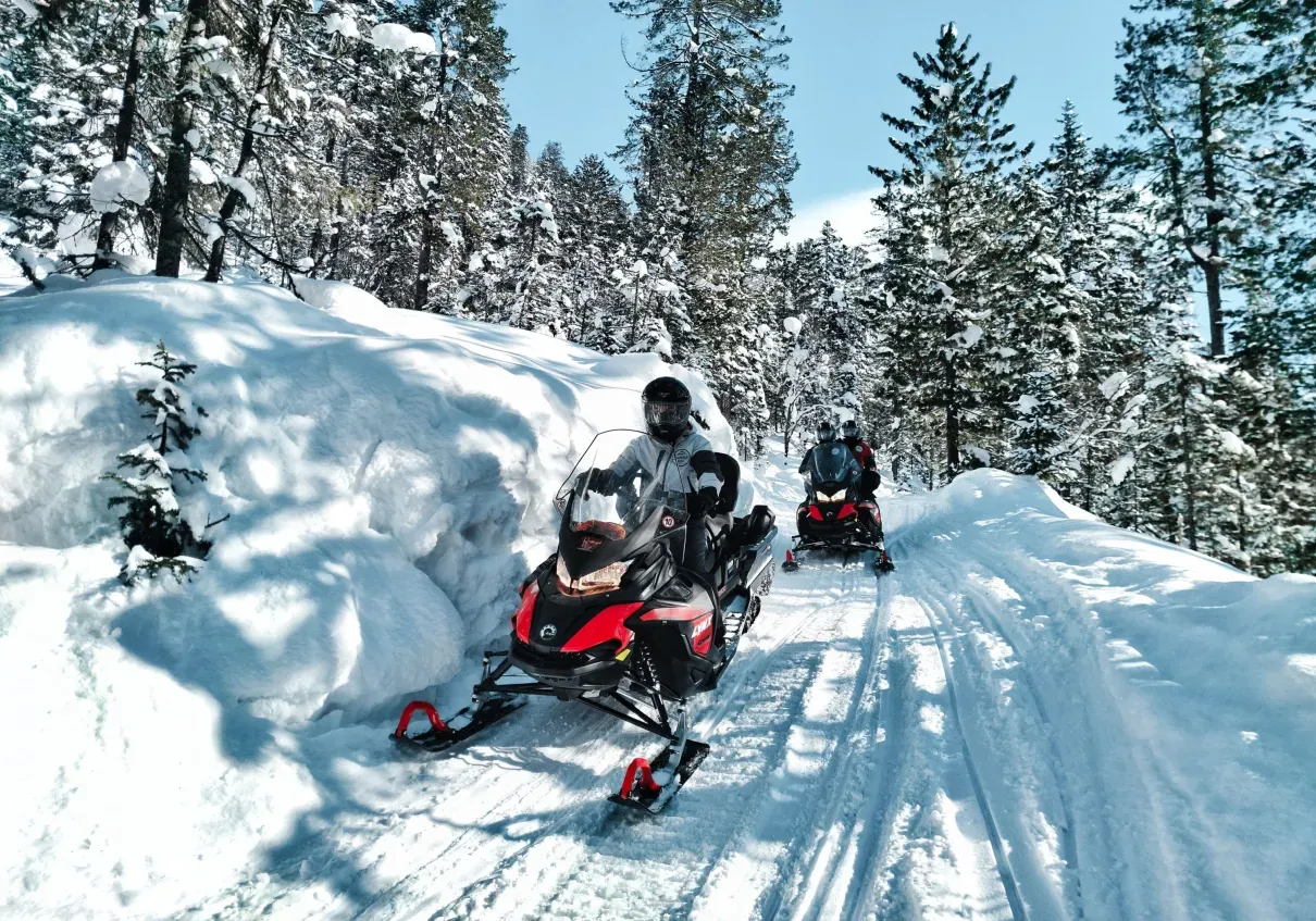
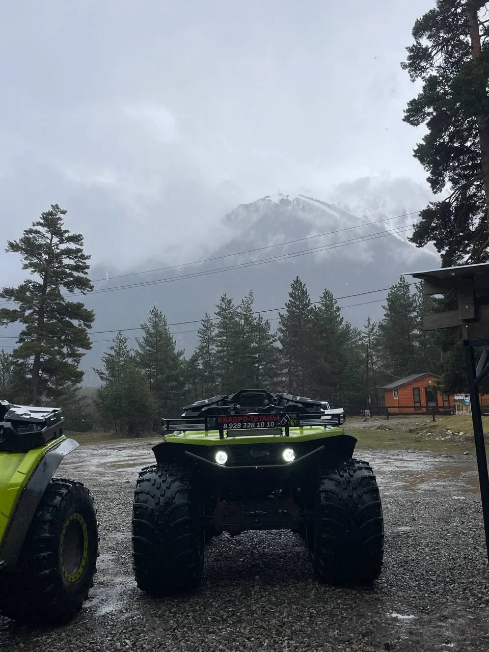
- ATV Titan, Envix and jeep; snowmobile in winter
- Passport required; additional conditions checked before departure
- 15 years of practice and route seasonality knowledge
Route photos
Equipment for this route
Place history
In the Arkhyz area, Amanauz is the name of a river and a high-mountain direction within the Psysh valley system. Namesake places also exist in Dombay, so their routes, waterfalls and starting points must not be mixed.
Geography: this route belongs to Arkhyz and runs in the Psysh and Amanauz river valley area. Arkhyz route reports separately document crossings of the Psysh and Amanauz and a border post farther up the valley.
Format: this is not the five-kilometre hiking trail from Dombay, but a 2–3 hour off-road trip. It combines forest road, rocky terrain, water sections and photo stops.
Border: part of the route goes toward the Abkhaz border. An original passport is required; the accessible section and any additional authorization conditions are checked before each departure.
Accuracy: the endpoint altitude and route line will be published only after the guide confirms a GPX track. We do not substitute coordinates of the namesake pass or the Dombay gorge.
How to get there and what to take
We send the Arkhyz starting point after booking. Bring your original passport; the vehicle and exact route variant depend on season and conditions.
How to get there: arrive in Arkhyz at the agreed time; we send the exact start point and access directions after confirming the departure. You do not need to travel to the checkpoint south of Dombay — that is a different place.
What to bring: your original passport, closed shoes, weather-appropriate clothing and water. Before departure the guide checks road, water and border-section access conditions.
Facts: the trip usually takes 2–3 hours; the exact line changes with the day's safe conditions.
Route reviews
Пришла с достаточно сложным запросом создать тур на 3 дня, который объединил бы все активности в Архызе, и они сделали это! Все прошло на высшем уровне: ваши запросы учитываются на 100%, даже скидку сделали. Самый лучший вариант в Архызе: если бронировать, то точно у данной компании. Берите 1000% и не пожалеете. Это я говорю как человек, который на самом деле обыскал все активности, везде посмотрел цены и сравнил.
Ив · 09 июня 2026
Source: Yandex MapsПарни отлично работают! Спасибо большое за прекрасную экскурсию к водопадам. Даже дали рулить квадриком самостоятельно, а мне было страшновато, но все же интересно!
Алёна · 04 июня 2026
Source: Yandex MapsКатались на квадроциклах в Архызе с компанией Проект Высоко в Горах — это было просто невероятно. Маршрут очень красивый: горы, лес, реки и нереальные виды на каждом повороте. Техника в отличном состоянии, всё объяснили перед поездкой, поэтому даже без опыта было комфортно и не страшно. Отдельное спасибо инструкторам — очень дружелюбные, внимательные и создают супер атмосферу. Получили море эмоций, адреналина и красивых фото. Однозначно одно из лучших впечатлений в Архызе. Очень советую всем, кто хочет увидеть горы по-настоящему.
Екатерина С. · 28 мая 2026
Source: Yandex MapsQuestions and answers
How it looks in summer and winter
Warm season
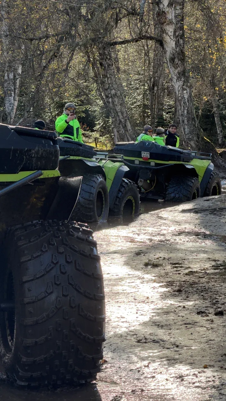
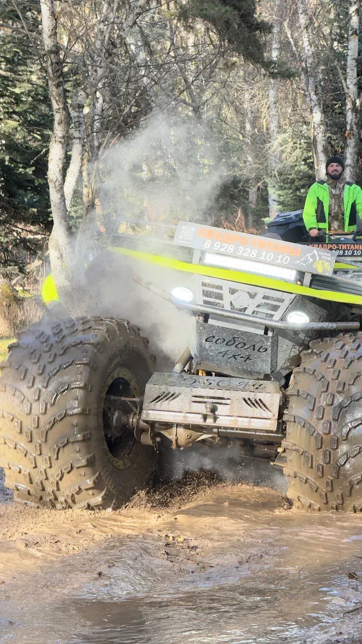
In the warm season the route uses an ATV Titan, Envix or jeep when road and water conditions allow. The guide selects stops and the safe depth of access on the day.
Winter
In winter the main format is snowmobile. ATV Titan, Envix or jeep departures run only when snow and road conditions are suitable.
Popular Arkhyz routes and locations
Verified and current
Updated Mar 5, 2025- Route details and terms are checked by our team.
- Need clarification? Message us — we reply quickly.
Sources and maps
Route blog
How to get there and what to take
Quick guide: road, gear and weather tips.
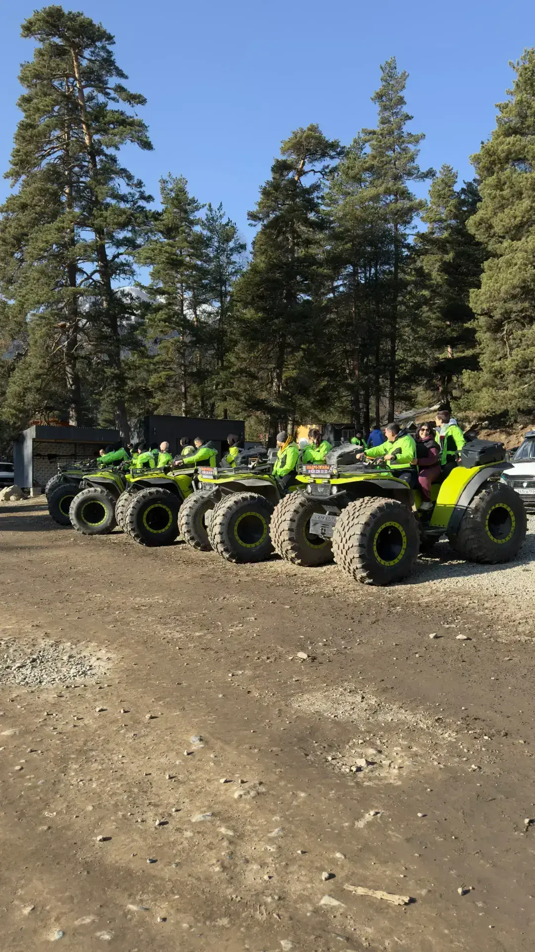
Photo spots and views
Best angles and what to shoot on the way.